 |
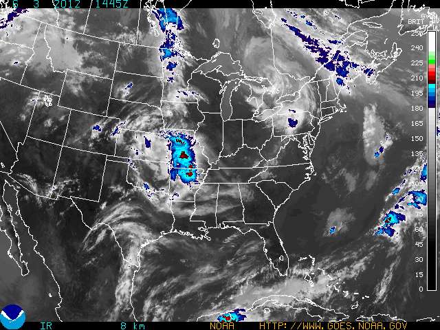
GOES Eastern US SECTOR Infrared Image
|
How much trust can a mariner
place in a weather forecast?
Aboard ship this question is sometimes a matter of
considerable importance.
I've
run across a couple items recently that address this question.
The first is from
Cliff Mass Weather Blog - the post is
Extraordinary Skill for Extended Weather Forecasts
(found via Channel 14, Seattle Traffic)
In the early days of forecasting, when our forecast models were crude
and our observational resources were few, weather prediction could not
get close to the theoretical limits. But during the last decade or so,
with the availability of satellite data, fast computers, and far better
computer models, prediction skill has extended further and further out
in time. In the 60s-80s we were lucky to skillfully forecast out 2-3
days. In the 90s 3-4 days. And in the 2000s, 4-5 day forecasts were
often quite skillful. But recently, we have seen highly skillful
forecasts consistently at 5-7 days, and occasionally approaching two
weeks.
Here is the bottom line
So when people ask you how far into the future meteorologists can predict the weather, a good answer is:
2-3 days with excellent skill
3-4 days with moderate, but useful skill
5-6 days with marginal skill
..and occasionally skill extending out 7-10 days.
Yes...sometimes forecasts go wrong in less than a day...but is considerably less frequent than a decade ago.

The second post is from
gcaptain -
What is the Mariner’s 1-2-3 Rule and Should it Be Updated? - By
Fred Pickhardt,
I'm not going to get into details here as I've posted on the 1-2-3 Rule before here:
Guidelines For Avoiding Hurricanes At Sea
Basically
the argument is that the accuracy of hurricane track forecasting has
improved and the safety margins used in the old 1-2-3 rules can, in
certain circumstance, be reduced. Better to get the info from the horse's
mouth -
Fred Pickhardt's post is here
Aboard ship it is important to monitor the accuracy of the forecasts, We don't dispose of the weather until the voyage is completed without incident. If you check the 96hr, the 48 hr and the 24 hr forecasts against the actual weather you can develop a sense of how accurate they are.
My experience is that the NWS (National Weather Service) forecasts and some other agencies are much better then many people believe but also it is easy to fall into the trap of accepting them uncritically out of habit. Much like monitoring the position of the ship to ensure it stays in safe water you should
check from time to time to ensure the forecast is "on track". How often you check depends upon the situation.
Most mariners are aware that the longer the range the forecast is the less accurate it is. The 24 hr forecast can be relied upon more then the 48 hr and so on. Beyond that my rule of thumb regarding the trustworthiness of the forecast is it depends on the issuing agency and how complex the weather situation is. Another important considerations is how much is at stake if the forecast is inaccurate.
I have higher trust in forecasts from the United States, Japan and Europe then some other places. I've had the most experience in those areas and have had many opportunities to verify the forecasts. I have more trust in simple situations then complex ones, for example if there are lots of low pressure areas about I am more wary then the simpler case of a single big high pressure system.
An important question is how much is at stake? If you lose the bet will it result in a delay in operations or are you risking the safety of ship and crew? In cases where you have lots of sea room it may matter little if the forecast is inaccurate as you can adjust your track as needed. On the other hand if you are coastwise or in port your options are likely far fewer. You need to think what is the worse case scenario and is a plan B practical?
Plan B developed for unfavorable weather is a subject in and of itself.
The bottom line is trust but verify - make sure you monitor the weather on a continuous basis, keep the latest forecast posted - the watch mates should know when the next forecast is due in. Keep the old forecasts and compare them to the actual weather.
Finally, keep an eye on the barometer and the sky. -
Look not to leeward for fine weather.
K.C.
UPDATE: I've tinkered with this post a couple of time and reserve the right to continue editing it in the future.
My Post
Capt McWhirr on Weather Routing.
Here is a somewhat inane post from Freakonomics
How Valid Are T.V. Weather Forecasts? The conclusion is the NWS does better then the TV weather man and that short term forecasts are more accurate then long term (no surprise there)
Lee Chesneau's Marine Weather is here - A few years back Lee wouldn't leave me alone until he was sure I understood a critical element of the 500 mb chart


 Mariner's Guide For Hurricane Awareness


